Ingest
Integrates information from multiple sources, like remote sensing, and inspection data, connecting critical datasets in one place
A smarter, faster way to manage pipeline geohazards, from detection to decision
Built for oil, gas, water and energy infrastructure operators, it delivers the clarity and speed needed to protect assets, meet compliance standards and prevent costly failures.
Developed in collaboration with Thurber Engineering - Canada’s leading pipeline geohazard experts - Orkus combines deep domain knowledge with powerful analytics and intuitive workflows.
Pipelines and infrastructure face constant threats from landslides, erosion, flooding and seismic activity. If these hazards exceed design tolerances, the results can be catastrophic, ranging from regulatory penalties to large-scale environmental disasters. Orkus brings all hazard-related data into one platform, including:
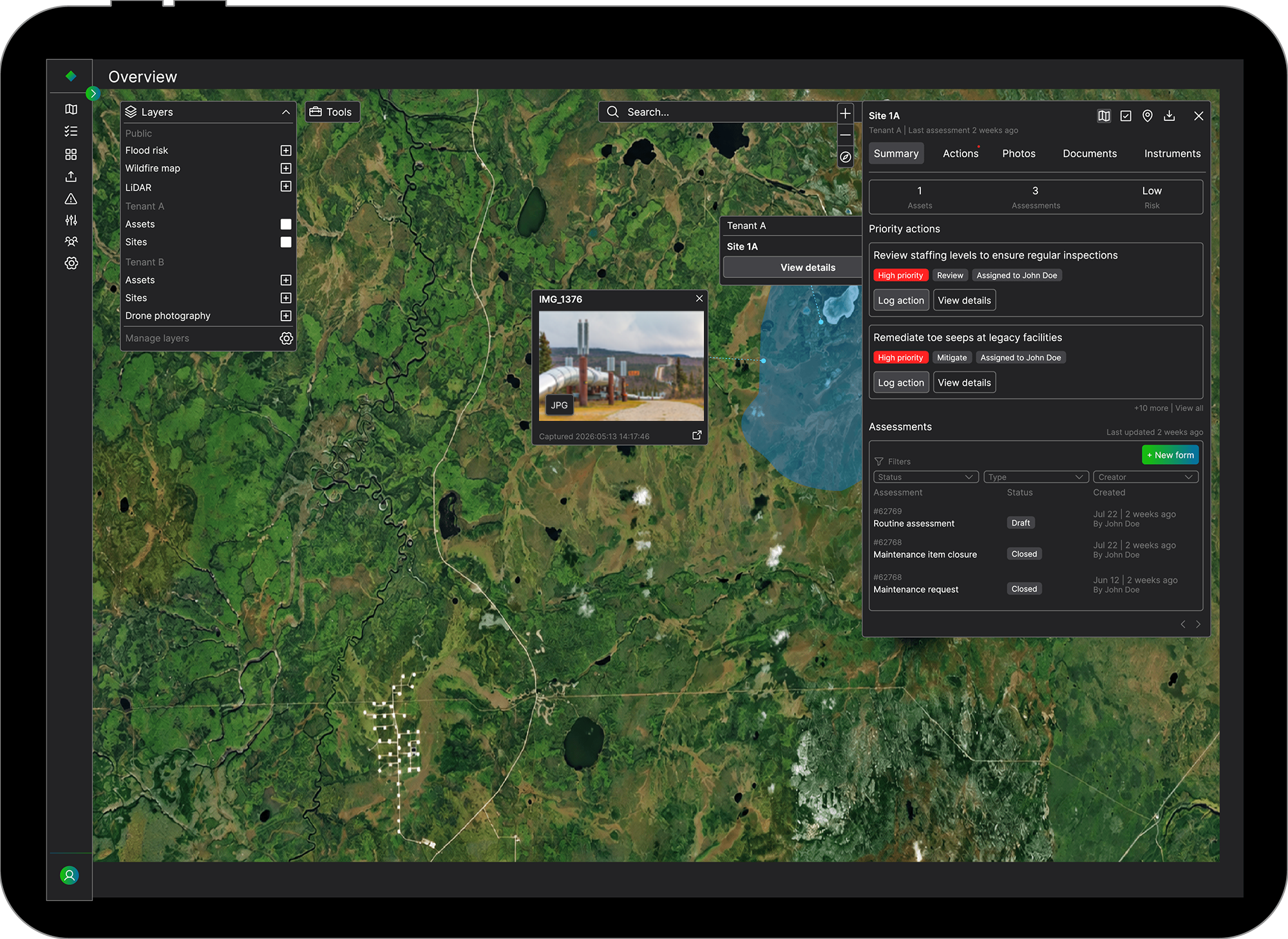
From here, Orkus applies configurable risk models, prioritises threats and tracks mitigation actions, all in a single, regulator-ready environment.
Integrates information from multiple sources, like remote sensing, and inspection data, connecting critical datasets in one place
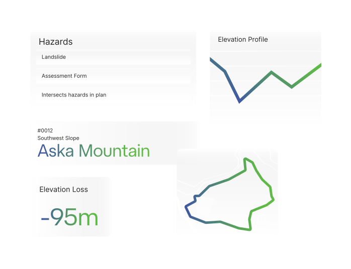
Uses customisable risk algorithms that are transparent, editable and aligned with industry standards
Assigns actions with traceable workflows, ensuring risk management actions are logged, tracked and auditable.
Generates instant, exportable reports with embedded maps, charts and photos for decision-makers or regulators.
Orkus unifies all geohazard intelligence into one platform. It ingests survey data, satellite imagery, inspection results and field observations, then applies transparent, semi-quantitative risk scoring aligned with standards like CSA Z662 and PHMSA.
The platform highlights the highest-priority threats, links them to recommended management actions and tracks progress with auditable workflows. The result is faster, defensible decision-making, reducing site visits, cutting compliance risk and protecting both communities and the environment.
Orkus works seamlessly with Klarian’s Juno platform for operational analytics, creating a unified view of both physical threats (like landslides) and operational performance (like pump efficiency). This integrated insight accelerates decision-making and reduces siloed risk management.
See every hazard in context with one platform that brings together satellite, survey and field data.
Prioritise the highest-risk threats with transparent scoring you can defend to regulators.
Act faster with clear workflows that cut site visits, lower costs, and protect communities.
Combine GIS, satellite, and inspection datasets for a single, comprehensive hazard map.
Eliminate manual data wrangling; capture, score and act without leaving the platform.
Prioritise geohazard mitigation based on likelihood and impact to reduce downtime.
Prevent damage-related inefficiencies and unplanned reroutes that drive up pumping energy usage.